
Drone inspection and construction for utility infrastructure.
We capture the invisible, map the impossible, and construct where crews cannot reach.
Miles Mapped
BVLOS Range
Inspections
Compliant
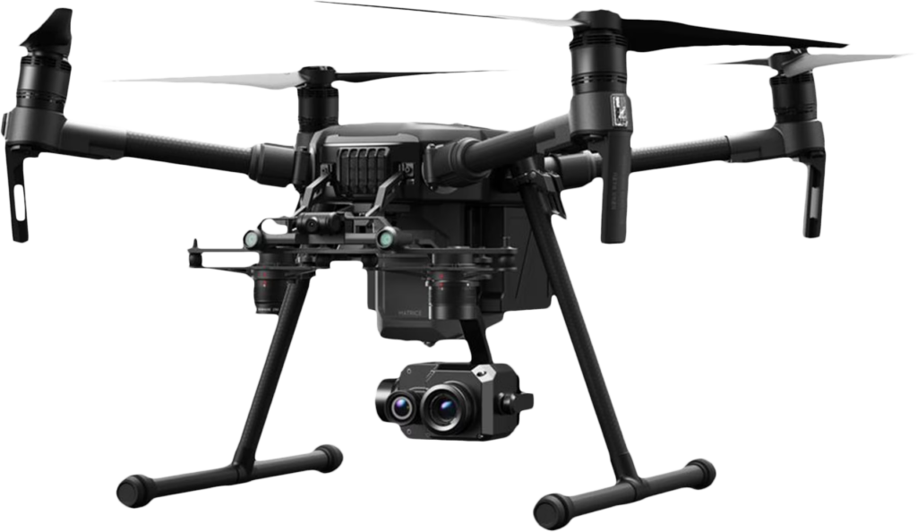
Whether you need precise inspection data or drone-assisted construction work in the field, more is possible with UAS than you might think.
High-resolution imagery across every angle. Identify structural damage, wear, and defects without putting crews at risk.
Precise 3D mapping of your infrastructure. Understand what you can't see with the naked eye.
Detect heat anomalies before they become failures. Catch electrical faults and hotspots early.
Visualize invisible leaks in pipelines and infrastructure before they become a safety event.
Spot electrical arcing and partial discharge that ground crews simply can't detect. Find faults before they fault the grid.
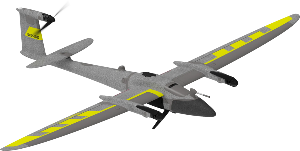
Clean energized insulators without taking lines offline. Maintain reliability without the outage.
String transmission lines across terrain no helicopter or bucket truck can easily reach. Up to 20,000 linear feet per deployment.
Send the drone in, not your crew. Inspect tanks, vaults, and hazardous structures safely.
Cut energized lines during storm response without putting linemen in harm's way.
Install bird flight diverters at 300 to 450 units per day with a two-person crew. Faster, safer, no outage required.
Install line spacers efficiently at scale. Reduce crew exposure and keep projects moving.
Place aerial marker balls on transmission lines quickly and safely, no tower climbing required.
Where drone specialization, utility expertise, and advanced technology come together under Quanta Services, the largest utility infrastructure builder in the nation.
High-resolution drone imagery across your distribution and transmission corridors, captured from multiple angles and delivered in formats that feed directly into your maintenance and compliance workflows.
Thermal drone inspections detect hotspots, failing connections, and thermal inefficiencies before they escalate on power lines, substations, and utility-scale solar installations.
LiDAR surveys generate precise three-dimensional models of your infrastructure and surrounding terrain, covering corridors that ground crews can't easily access and distances that standard drones can't efficiently reach.
Drone-based photogrammetry produces accurate 2D maps and 3D models for pre-construction planning, progress documentation, and post-build verification.
Specialized UV sensors detect the electrical arcing and partial discharge that standard cameras miss, giving your team the information needed to schedule targeted repairs before failures occur.
Construction-capable drones handle utility installation work in congested, sensitive, or hard-to-access areas where helicopters aren't practical or permitted.
Fast-mobilizing drone teams survey storm-damaged corridors and deliver real-time imagery to operations centers, so repair crews know exactly what they're heading into before they arrive.
Download our UAS capabilities brief for a closer look at our full range of services, technology, and field applications.
Every engagement ends with processed, reviewed intelligence you can act on, not a folder of raw images.
AI doesn't replace expert review at QAS. It makes it faster, more accurate, and more actionable.
Our pilots and crews carry the certifications the work actually demands: renewed, verified, and utility-specific.
QAS operates exclusively with NDAA-compliant, American-made UAS platforms, keeping your data secure and your operations aligned with evolving federal standards.
When failure isn’t an option, you need the right team, the right tools, and the right data.
Secure your grid with the industry leader.
Project Overview Quanta Aviation Services (QAS) conducted a UAS-based inspection of a 12-mile transmission tap,…
Project Overview Quanta Aviation Services (QAS) was contracted for a large-scale telecom utility pole inspection…
Project Overview Quanta Aviation Services (QAS) was contracted for the installation of transmission lines across…
QAS provides unmanned aircraft systems (UAS) inspection and data capture services for electric utilities, including:
We operate nationwide supporting transmission, distribution, and substation asset inspection programs.
Yes. QAS maintains a fleet of NDAA-compliant UAS platforms, including Skydio X10, FreeFly Astro Prime, Censys Sentaero 5, and Inspired Flight systems. We can operate NDAA-compliant equipment for federal land overflight, sensitive infrastructure, or clients with supply chain security requirements.
QAS operates under Quanta Services’ enterprise-grade cybersecurity protocols and utility industry standards (NERC CIP where applicable). All field operations follow utility-specific safety and security requirements. Data is encrypted in transit and at rest, and delivered through secure channels to client-designated repositories.
QAS operates under Quanta Services’ zero-harm safety culture with full OSHA compliance, utility industry certifications, and FAA Part 107 operations. Our pilots are trained in utility-specific hazards and work coordination procedures. We maintain comprehensive insurance coverage and incident reporting protocols aligned with utility client requirements, and are ISBAO-certified RPAS operators.
Yes. QAS has delivered data to utility platforms, including:
We work with your team to define data formats, metadata requirements, and delivery workflows.
Production rates vary by asset type and inspection complexity:
We scale crew deployment to meet project timelines and weather windows.
Yes. QAS offers pilot programs to demonstrate capability and validate ROI before full-scale deployment. POC scopes typically include 100-1,000 assets lasting 1 day to 1 week, with deliverables aligned to your evaluation criteria and follow-on award potential (data quality, platform integration, cost-per-asset benchmarking).
QAS operates nationwide with regional bases and rapid mobilization capability through Quanta Services’ infrastructure. We have executed projects across transmission, distribution, and generation assets in all major utility service territories, including mountainous, coastal, and remote environments.
Yes. QAS provides inspection data for High Fire Threat District (HFTD) compliance, vegetation encroachment analysis, and risk assessment programs. We deliver RGB, thermal, and LiDAR data optimized for vegetation-to-conductor clearance modeling, pole condition assessment, and ignition risk mitigation workflows.
Contact QAS at the contact form below or email [email protected].
Whether you need rapid storm response or a comprehensive LiDAR survey of a 500-mile transmission corridor, our team is ready to deploy.